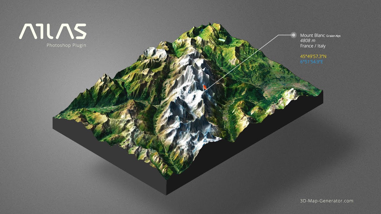
The creation of trekking and MTB trail maps is an activity that combines technical skills and graphic creativity. It is not just about drawing lines on a chart, but about transforming a route into a clear, readable and attractive representation for the end user.
A well-designed map helps visitors orient themselves, provides practical information and conveys the care and professionalism of the tourist destination.
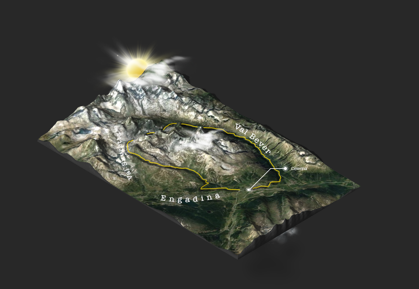
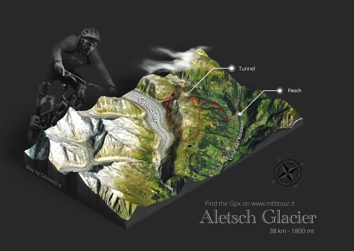
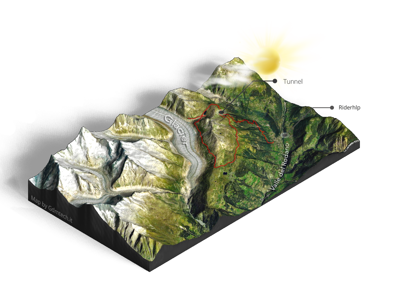
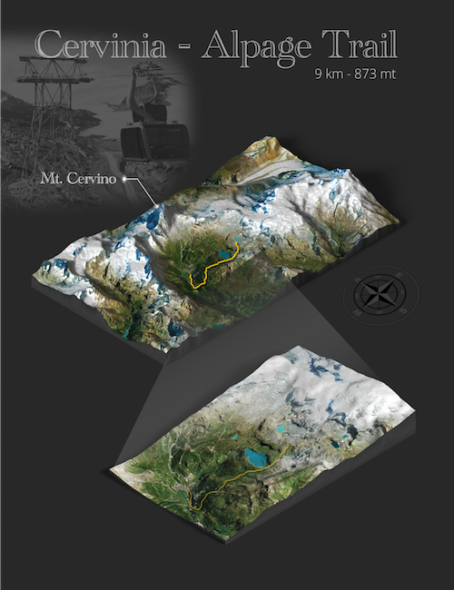
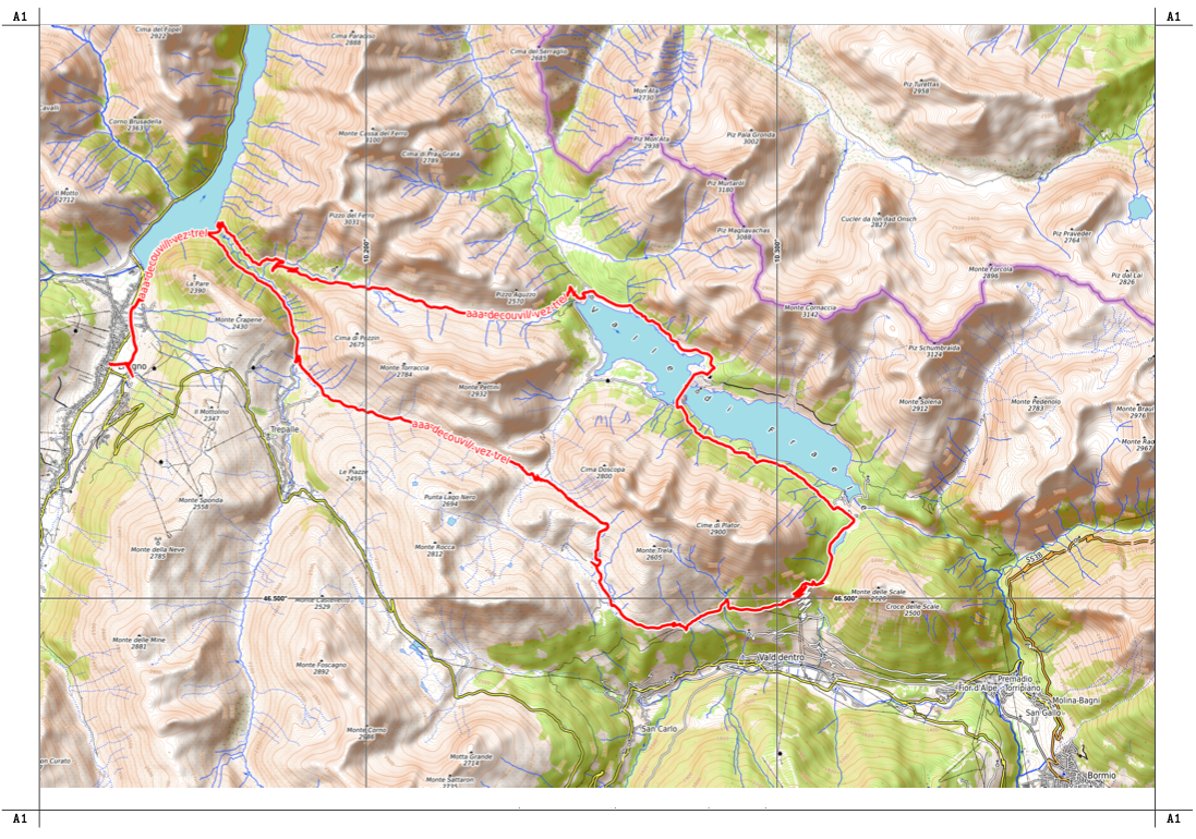
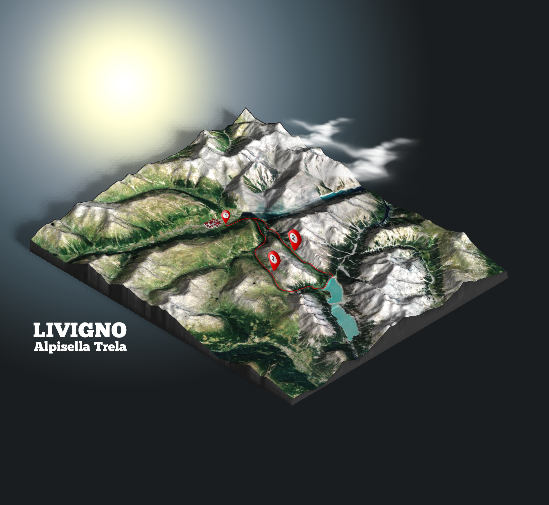
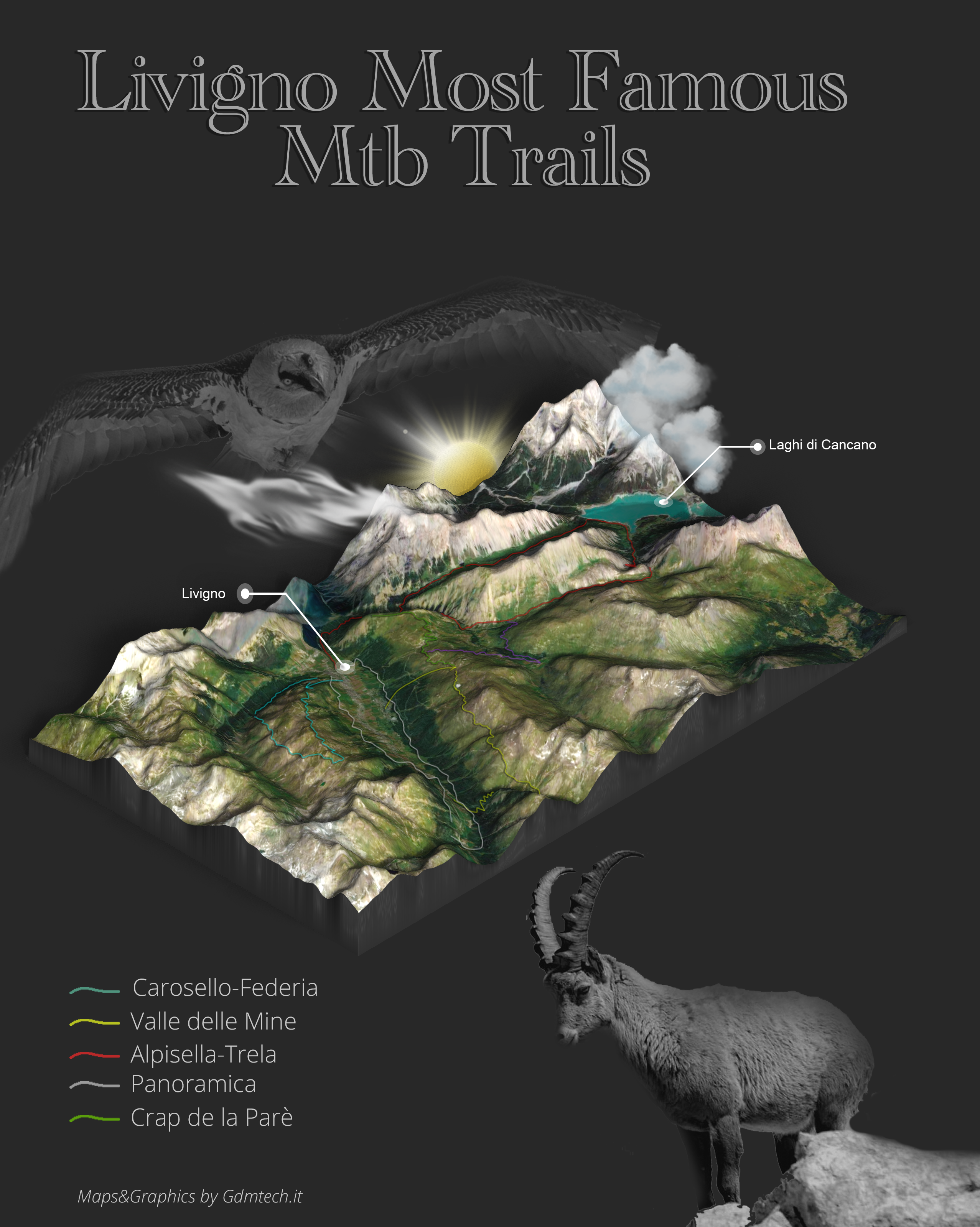
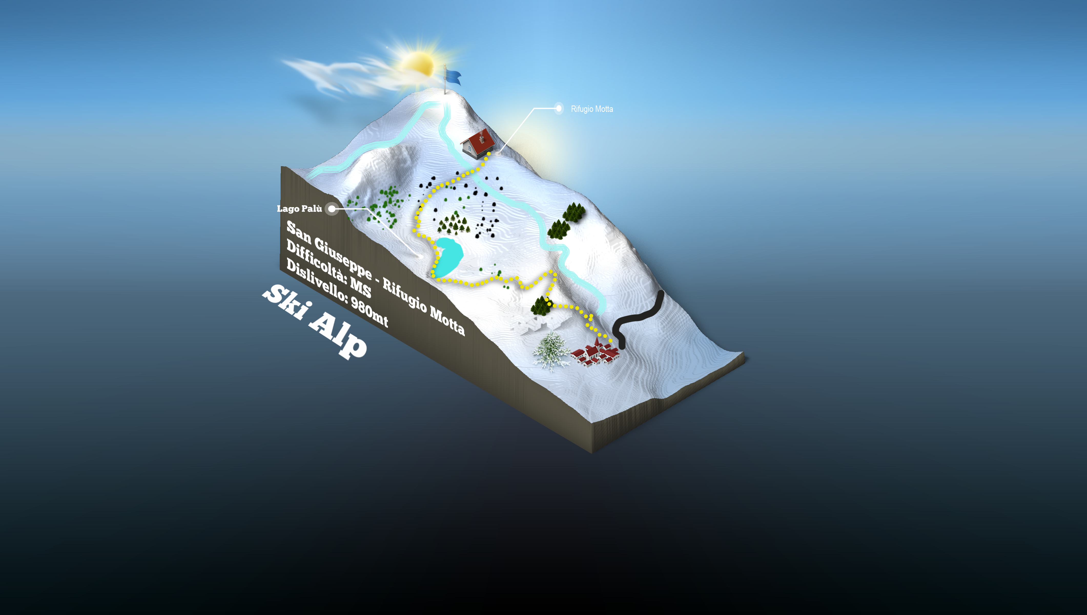
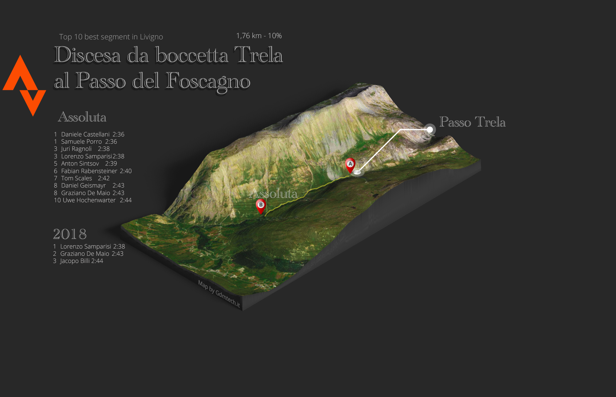
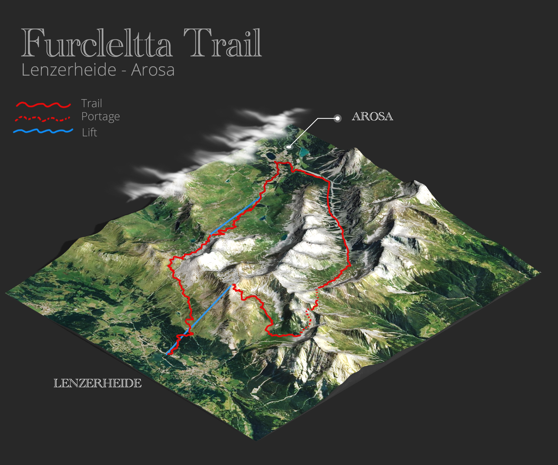
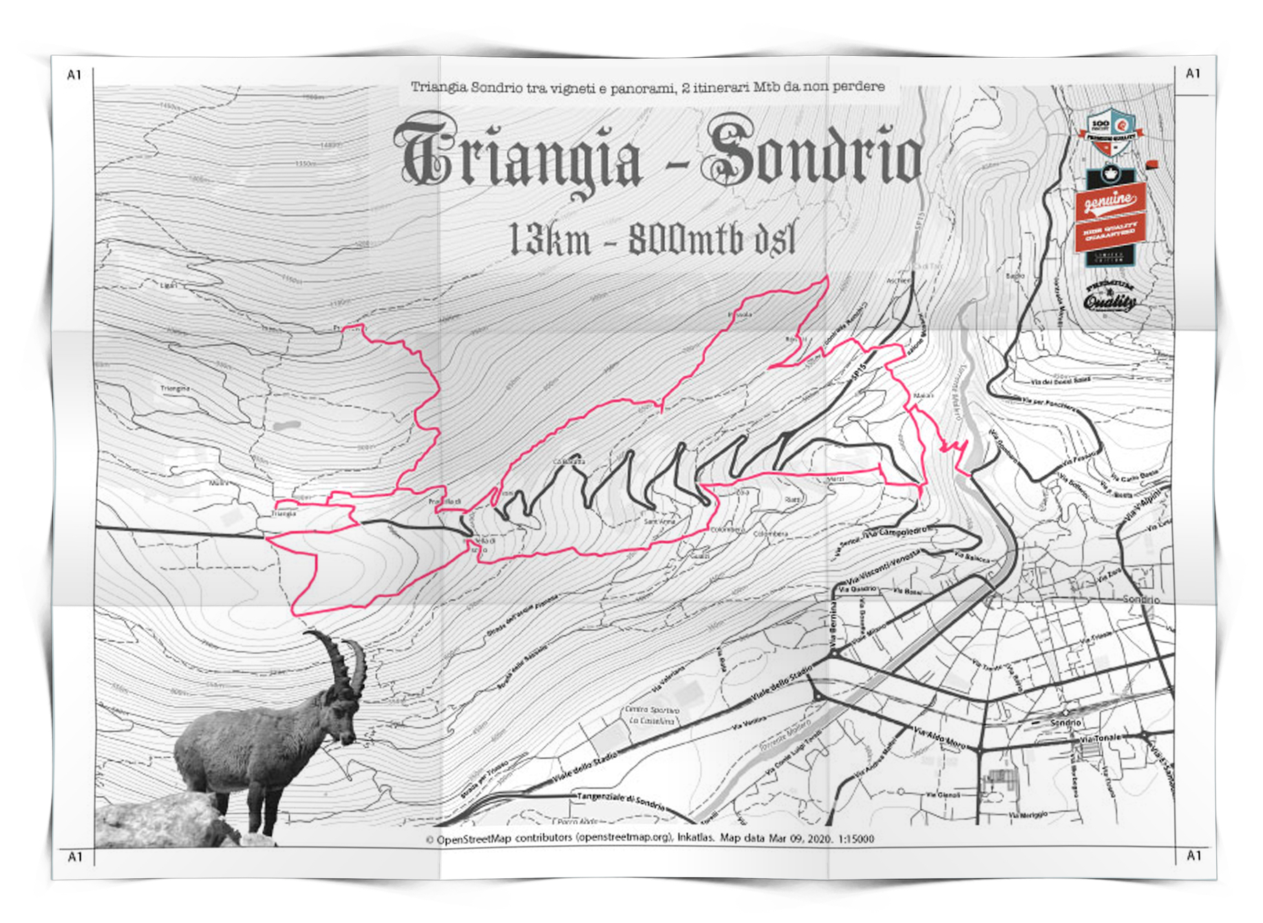
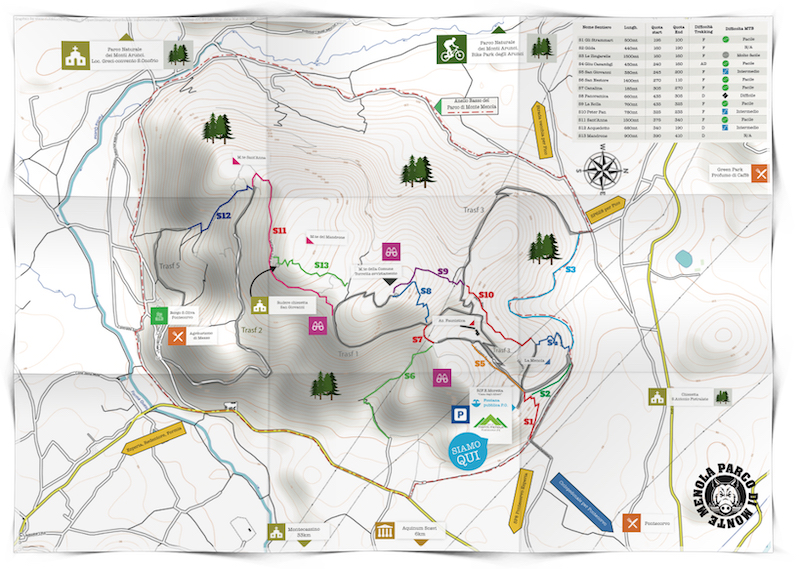
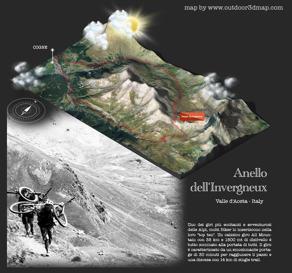
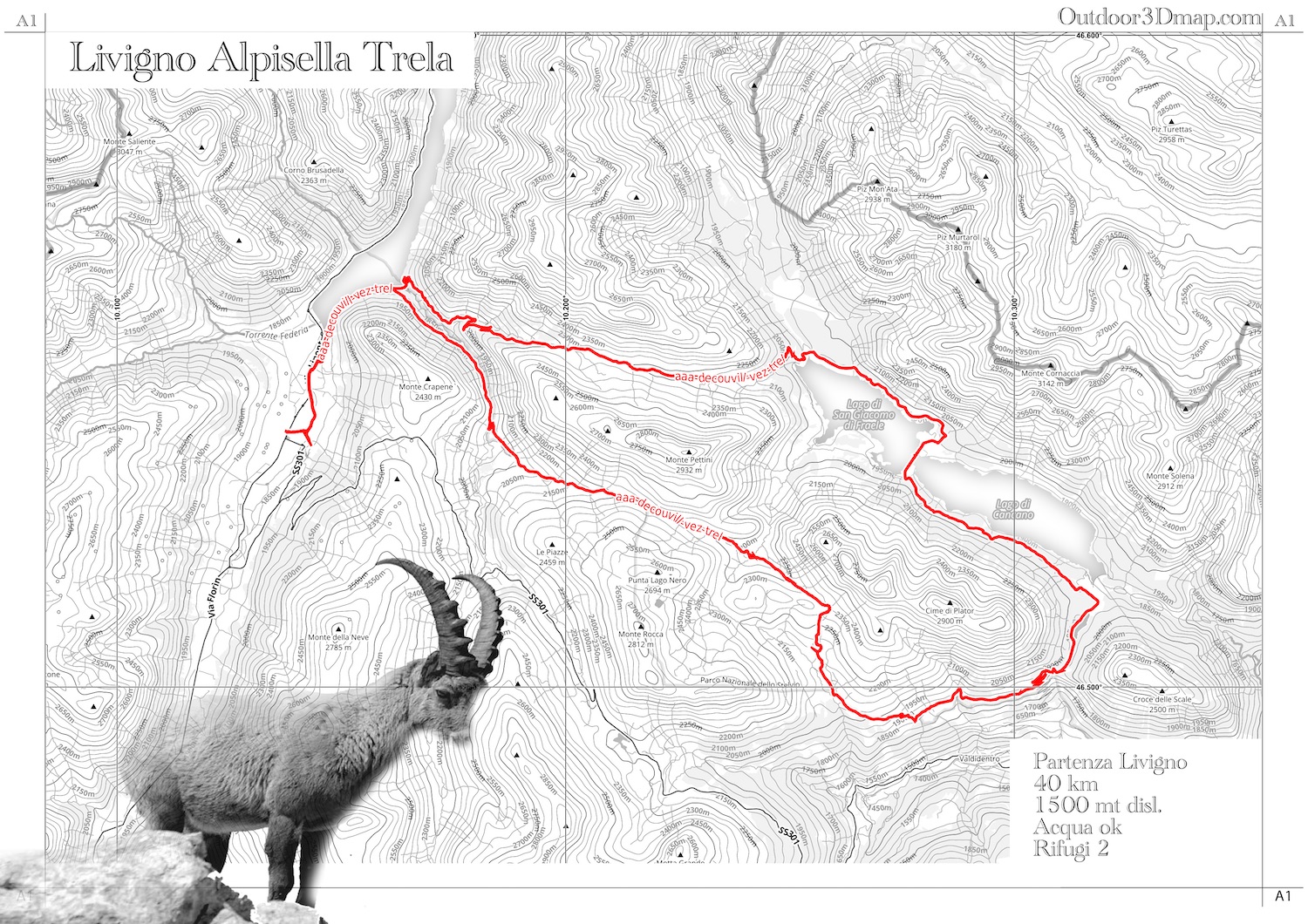
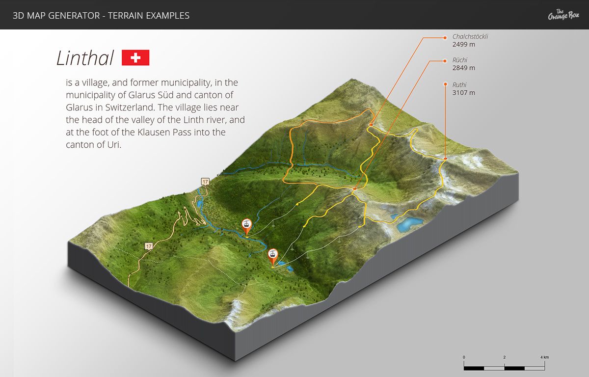
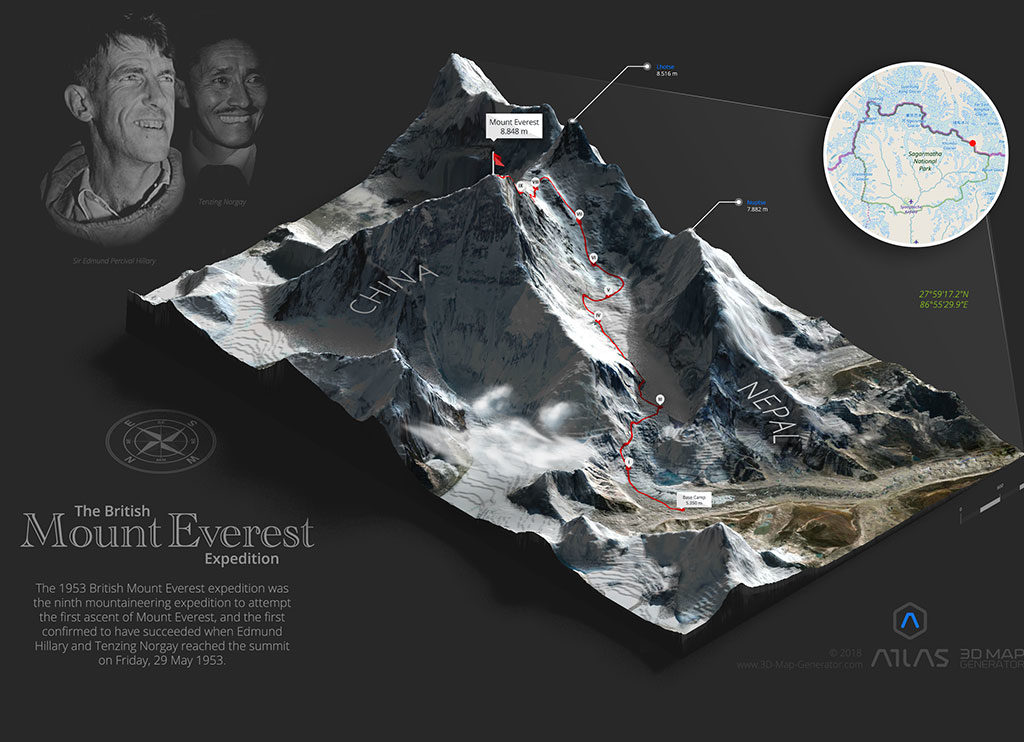
Transfer of gpx tracks onto the map
Today most routes are recorded with GPS systems. Thanks to GPX files, it is possible to import hiking trails or MTB routes directly onto the map.
The advantage is twofold:
- Millimetric precision in the representation of tracks
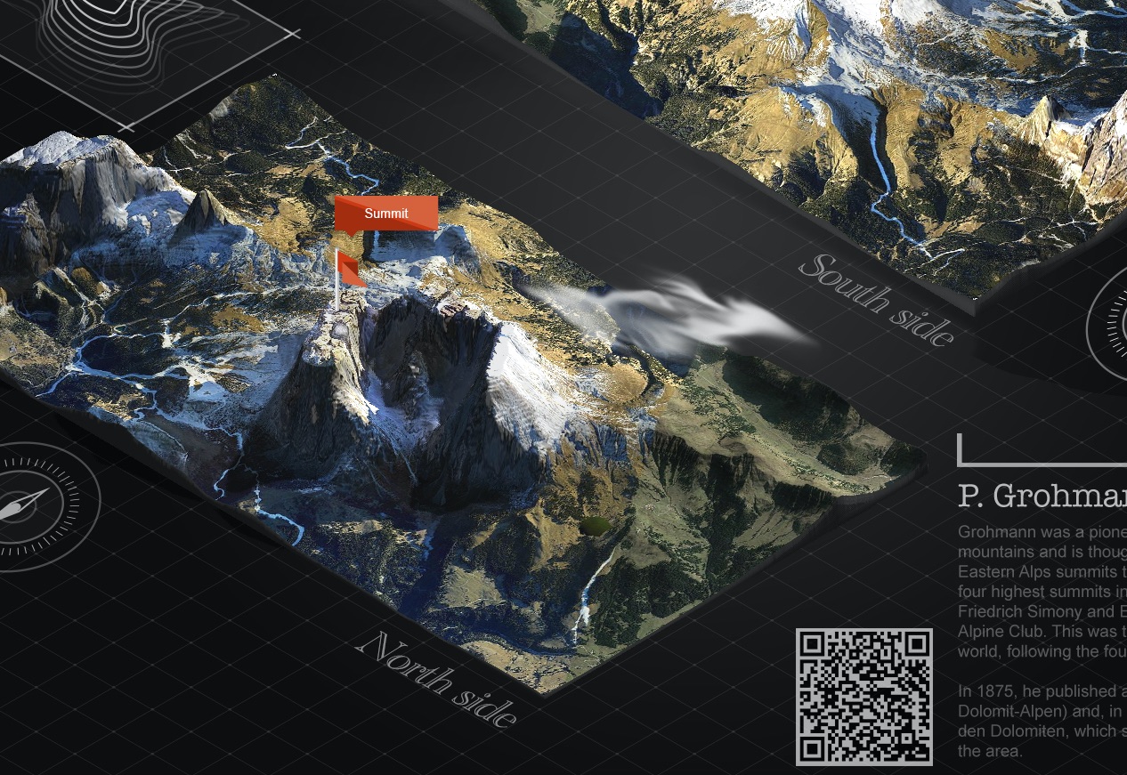
- Possibility to add waypoints and points of interest (POI) such as shelters, springs, picnic areas or natural attractions
This integration makes the map a dynamic tool, easily updatable and usable both in digital and printed formats.
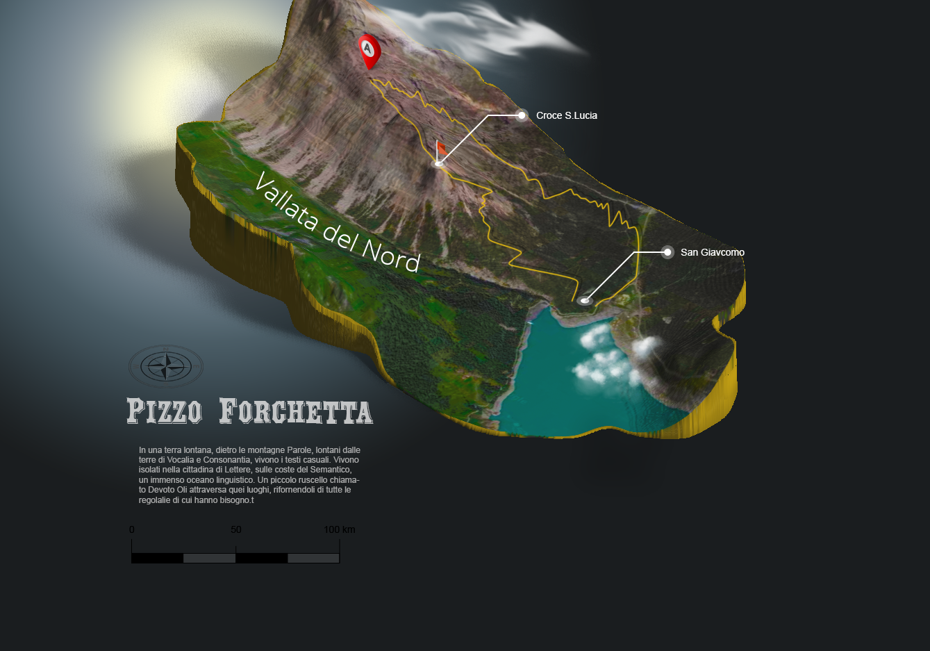
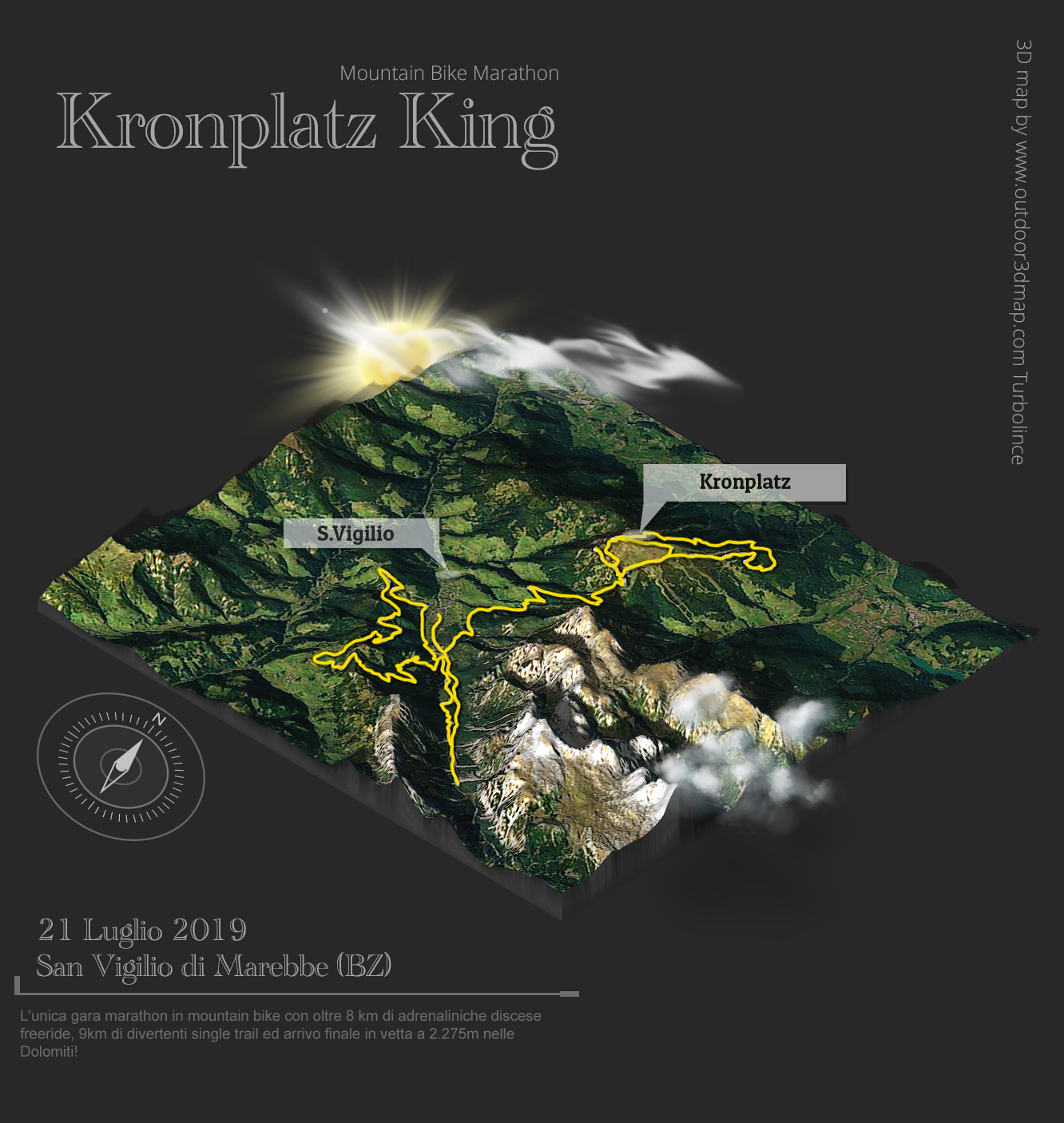
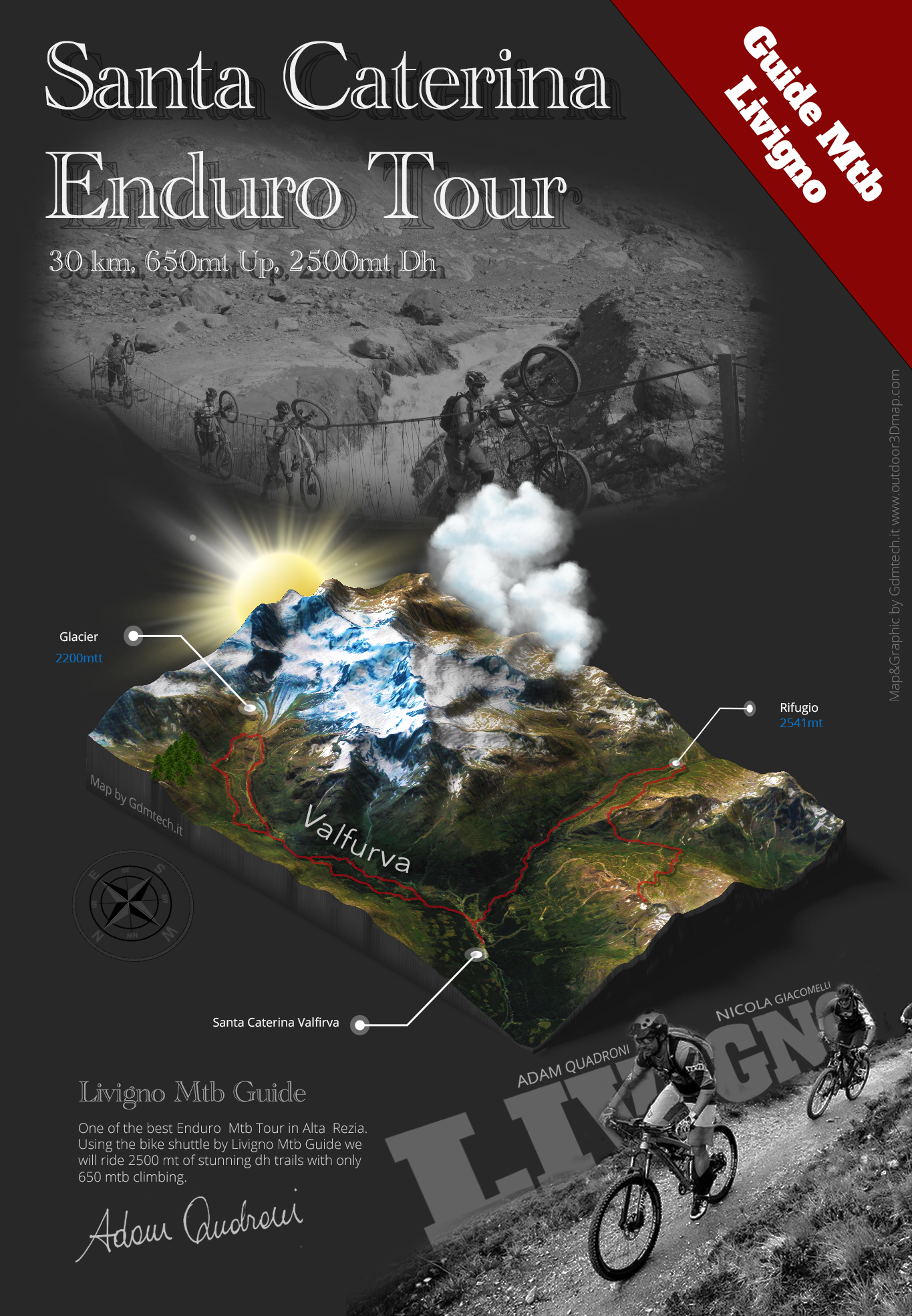
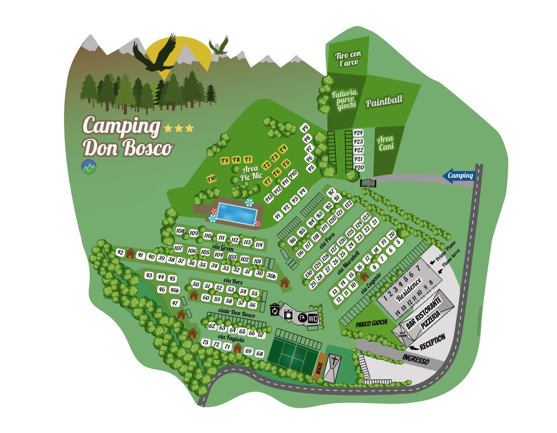
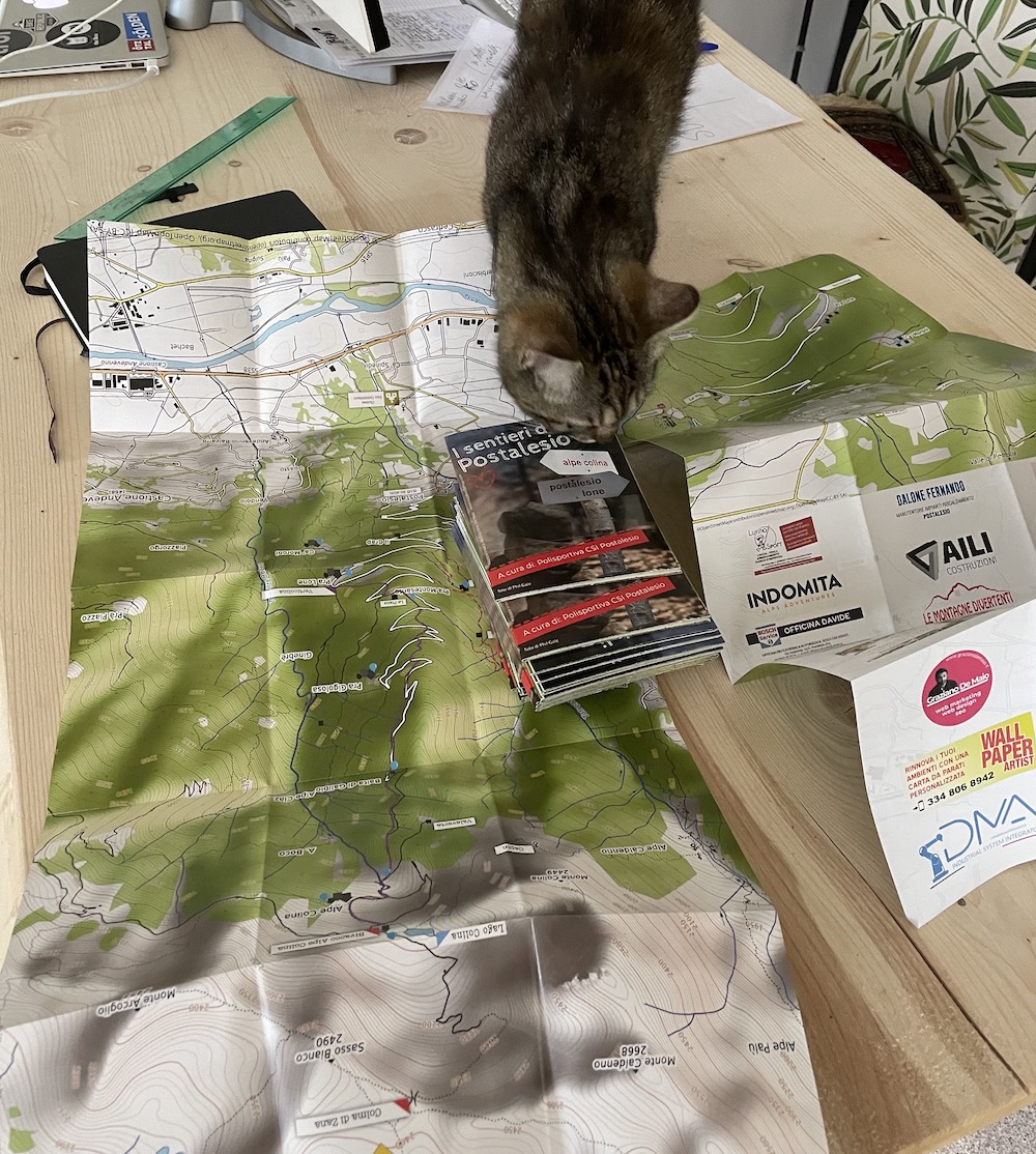
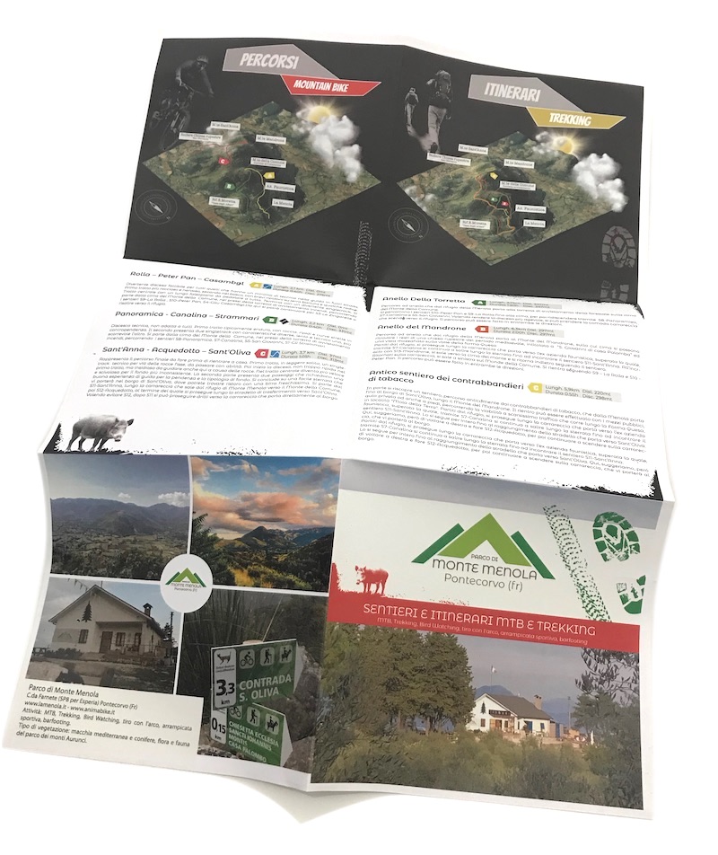
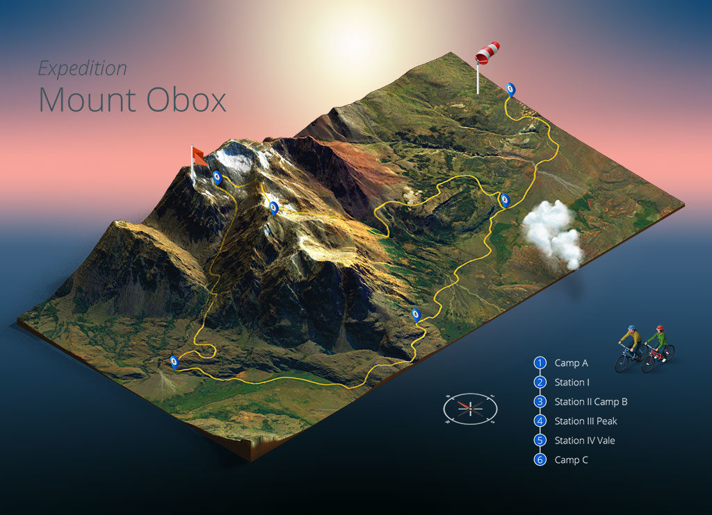
Foldable maps and tourist flyers
Foldable maps are still a paper support highly appreciated by tourists. Portable, practical and visually impactful, they can be distributed at:
- tourist offices
- campsites and holiday villages
- hotels and resorts
- sporting events and MTB or trail running races
A flyer with an integrated map thus becomes both a guide for visitors and a promotional tool for the tourist destination. The combination of clear graphics, bright colors and informative content turns the map into a real marketing tool.
Why a good map is tourism marketing
A map carefully designed in detail is not only a support for orientation, but also a message that tells the identity of the territory. Some advantages of a quality map:
- Attracts tourists: colors and design make the territory more appealing
- Communicates professionalism: a tourist office offering a good map conveys reliability and attention
- Facilitates sharing: maps, especially if integrated with QR codes and digital resources, become content easily shared on social media
- Increases perceived value: the tourist feels welcomed and guided in discovering the area
Integration between digital and paper maps
The creation of modern maps allows for a dual version:
- Printed, as a foldable leaflet, flyer or information panel
- Digital, viewable on smartphones, with QR codes linking directly to GPX tracks or interactive online maps
This synergy ensures tourists a complete experience, combining tradition and innovation.
Conclusion
Creating trekking and MTB trail maps means enhancing the territory and offering tourists a useful tool that is beautiful to look at and easy to use. A well-designed map becomes an integral part of the tourism marketing strategy, improving the destination’s visibility and making the visitor’s experience more engaging.
If you are interested in creating a map for your area, campsite or sporting event, contact me: we will transform your routes into maps with strong visual and communicative impact.